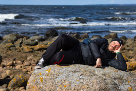
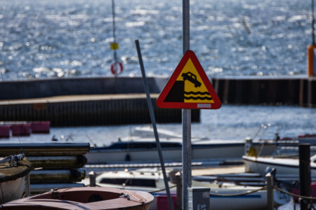
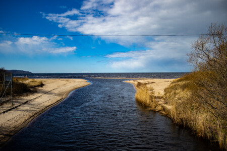
On our rest day we slept quite long and had a late big breakfast. After some quick laundry we decided to go the beach as the sun was shining. There is a little nature reserve right at the beach in Vejbystrand where we walked through. Alina wanted to take some photographs of the goats living there (according to google…). However, we didn’t see any. So we watched the birds and insprected a bunker on the beach. Afterwards we walked to the harbour. Although the sun was shining, the wind was ice cold. Nevertheless, we saw an old Swedish lady bathing in the sea. We were stunned!
In the evening it was time for some cleaning of the bicycles and prepping for the next stage. Due to the nice wifi connection at the hostel Alina could also attend her italian online class 🇮🇹. Afterwards we lay on some energy for the next day with a huge dinner (got some green asparagus in the supermarket around the corner😍).
Exploring the inland and making a few hightmeter
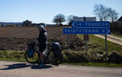
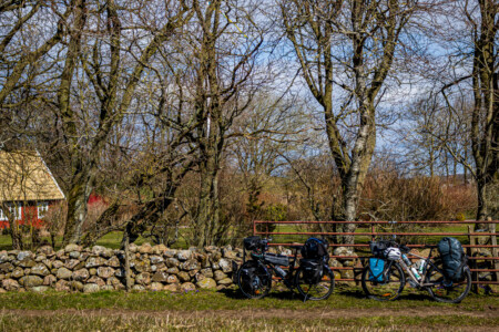
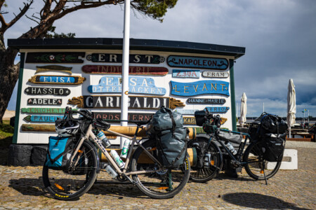
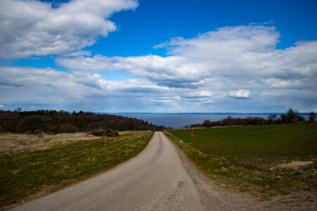
After a good and restful night at our hostel, we had to pose for a picture for our host and could start into warm day with cloudless blue sky. A few kilometers later we left Vejbystrand and the coastline and cycled more inland. We could see a lot of big farms and busy farmers preparing their fields with big machines. The fields were tilled but nothing grew there yet. We made our first pause at Torekov, which was located on the coast again. So we had a beautiful view while eating some snacks.
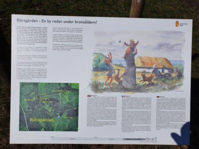
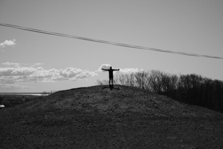
When we left Torekov our path led us inland again and we had to do a lot of climbing. In this area you could also see more woods and lesser farms. On the highest spot on this stage we stopped for a little sights. We explored the remains of a bronze age settlement and had a beautiful view over land and sea.
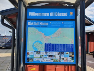
Shortly after the cultural part of the day we had a fast descent again to the coastline and arrived in Båstad. At the Marina we had our lunch in the sunshine. Some crows were waiting for crumbs from our crisp bread 😋. We also had the first material damage when Alex’s bicycle stand broke. But fed up and without any further damage we could continue our tour.
Trouble at the camping ground in Gullbranna
When we left Båstad and the sea we followed a very long straight road through different small villages until we came to Mellbystrand. We were a little bit confused because we could not see any Katteglattleden sign for miles. But we knew, we were cycling in the right direction and after an eternity we found a sign again.
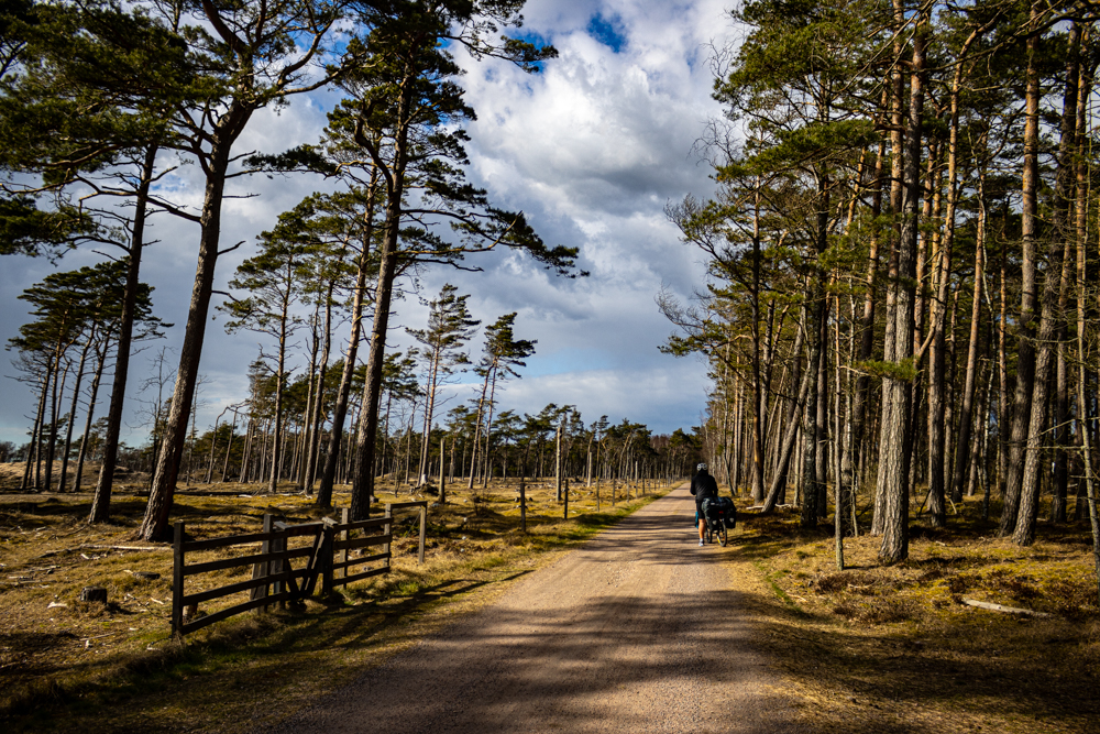
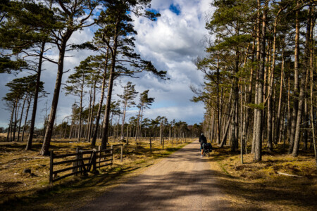
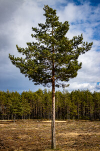
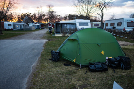
And finally, the road got also more interesting. We cycled through a beautiful forest which belonged to a nature reserve. After a view more kilometers we arrived at Gullbranna where we wanted to stay the night at a camping ground. The staff was already at home, but we could reach them via mobile and made our booking. So again a warm shower was saved for the evening.
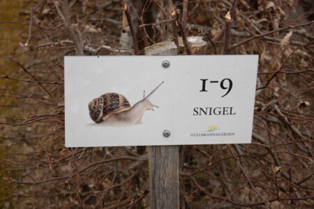
After we built up the tent (in the “snigel” path) and took a shower we went to the nearby store in Gullbranna. When we came there we recognized it was an automated supermarket. We needed a so called bank id for a mobile app so we could enter the store and go shopping. In Sweden this is normal, but we didn’t have any. So we looked for another market and cycled around 3 km to get there just to realize that this store was closed short term. So we cycled back to the Gullbranna and ate our emergency meal (happy to have it with us). Afterwards we went to bed exhausted and expecting a freezing cold night.
Route
The total distance can be viewed on the “Sabbatical 2021 – Europe” page.
Max elevation: 154 m
Min elevation: 2 m
Total climbing: 479 m
Total descent: -486 m
Average speed: 16.07 km/h
Total time: 06:23:43

Hallo Alina und Alex
hoffe es geht gut. Könnte sicher etwas wärmer sein. Ihr seid sicher gut ausgerüstet.
Kommt Ihr auch an den Vänernsee und am Kinnekulle (Anhöhe) vorbei?
Habe ich noch in Erinnerung vom Marathon 2016 wo wir Europameister mit den meisten KM wurden.
Bleibt gesund und eine schöne Zeit Heinrich
Hi, alles gut bei uns soweit. Nachts ist es bei um den Gefrierpunkt hart an der Grenze mit unserer Ausrüstung, daher haben wir auch jetzt mal eine Unterkunft. Soll aber jetzt auch nachts wärmer werden. Unser Plan geht bisher nach Göteborg. Aber der Vänersee steht auch auf der Liste.
Alex
Was für ein cooles Abenteuer, wunderschöne Fotos… genießt den nächsten Restaurant/Cafébesuch für uns mit und grüßt das Meer. :-))))
Vielen Lieben Dank. Ich hoffe Restaurant/Cafébesuch sind auch in Deutschland in wenigen Wochen wieder möglich. Bis dahin trinken wir einen für euch mit 😉
Alex
Wie toll, dass ihr uns auf den Kattegattleden mitnehmt. Ich habe ihn erst vor kurzem durch Zufall entdeckt. Meint ihr, dass man ihn (im Sommer) auch mit raderprobten Kindern faren kann? Wir kommen aus Norddeutschland und die Jungs sind 6 und 8. Hier im Flachland schaffen sie gut 40km am Tag. Allerdings siehts bei euch doch nach Steigungen aus, oder?
Wie ist die Versorgung mit Campingplätzen oder guten Wildcamping-Spots? Sind die weit auseinander oder müsste sich da so alle 30km was finden lassen? Ich bin sehr gespannt, was ihr uns für Bilder auf dem Blog präsentieren werdet.
Hey, das freut uns sehr, dass wir mit unseren Reiseberichten auch anderen Lust auf das Radfahren in Schweden machen 🙂 Was Steigungen betrifft ist der Weg ziemlich entspannt. Es gibt ab und zu mal einen kleinen Hügel, aber man kann nicht von Bergen sprechen. Das Höhenprofil siehst du jeweils unter den Beiträgen. Da kamen bisher nicht viele Höhenmeter zusammen. Der (Gegen-)Wind ist dagegen jedoch manchmal recht anstrengend. Campingplätze gibt es ziemlich viele. Im Moment sind wir ja noch etwas früh (viele haben noch nicht auf), aber im Sommer sollten die alle geöffnet haben und da ist man entlang des Weges wirklich gut versorgt. Wildcamping spots haben wir bisher noch keine guten ausmachen können. Es gibt so Shelter (Schutzhütten), von denen wir zwei gesehen haben. Dort ist es erlaubt auch zu campen. Ansonsten gibt es häufig Verbotsschilder, besonders an den Küstenregionen (auch dort wo eigentlich gar nichts los ist). Wir hoffen später auch mal die ein oder andere Wildcamping Nacht zu verbringen. Allerdings wenn es nachts nicht mehr Minusgrade hat 😉 VG, Alina